
|
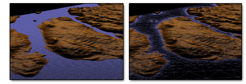
With the advent of ever-cheaper genome sequencing technologies, a wide range of organisms can now be examined at the genetic level, and biodiversity can be expressed in quantitative terms of genetic similarity and shared function. In addition to well-known genome sequencing projects, these techniques are now being applied to samples collected directly from the environment to give a cross-section of the diversity that exists at different locations in different habitats.We are developing an open source, three-dimensional geospatial information system to examine and test relationships between biodiversity, geography, and the environment. The goal is to acquire cartographic and environmental data from many sources, and overlay user-provided genomic sample sites and genetic sequences. The system includes OpenGL-based map rendering, navigation controls and a library of tools to visually compare the properties of data collected from different sample sites, as well as a command interface based on the R statistical language that allows rigourous hypothesis testing.
Screen Captures Publications
|


