Nova Scotia Waterfalls

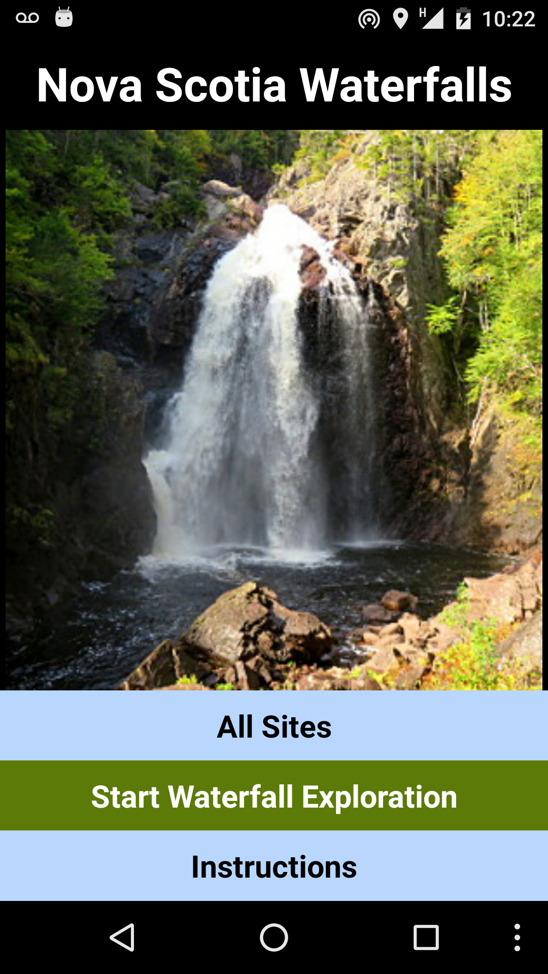

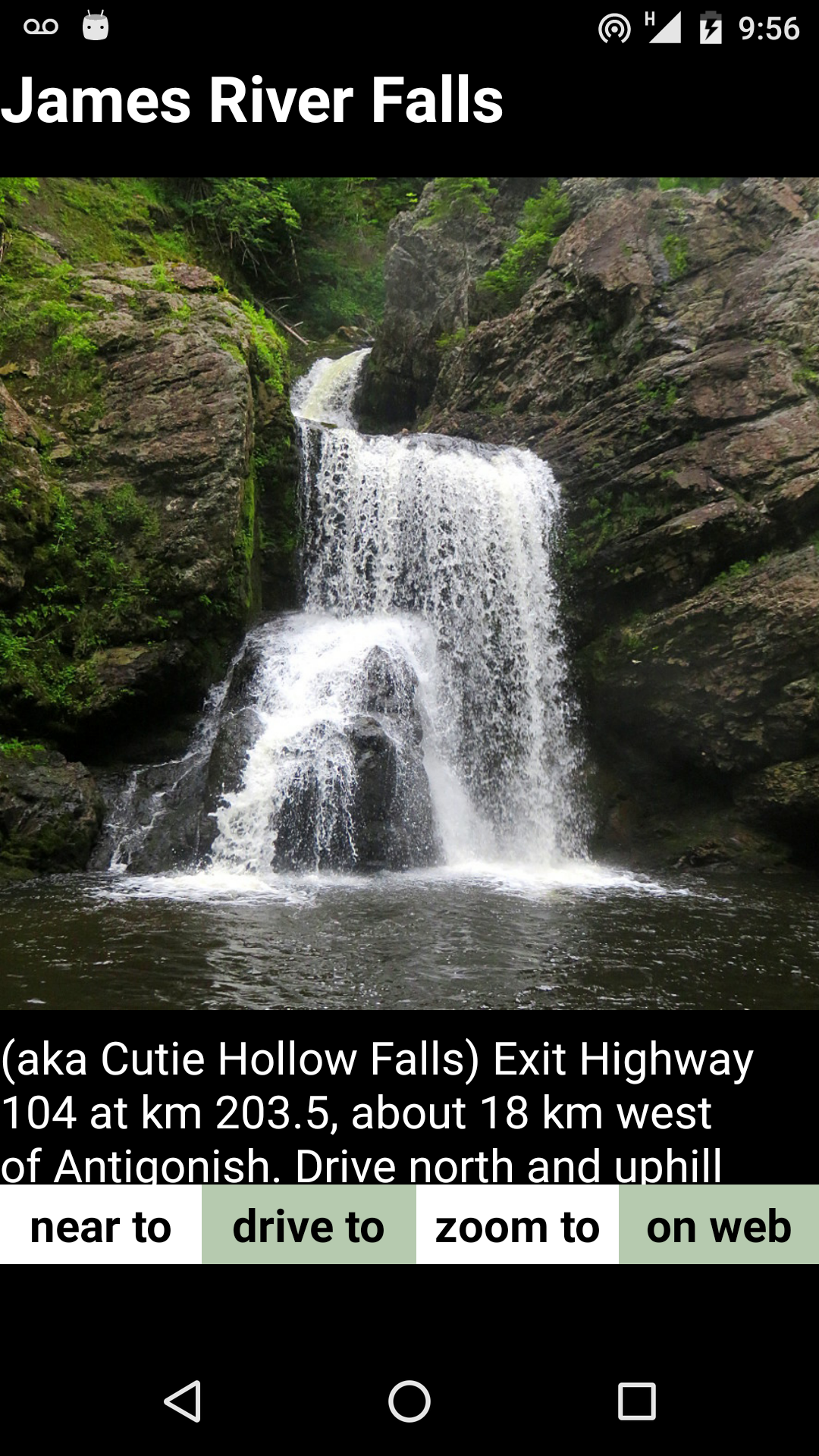
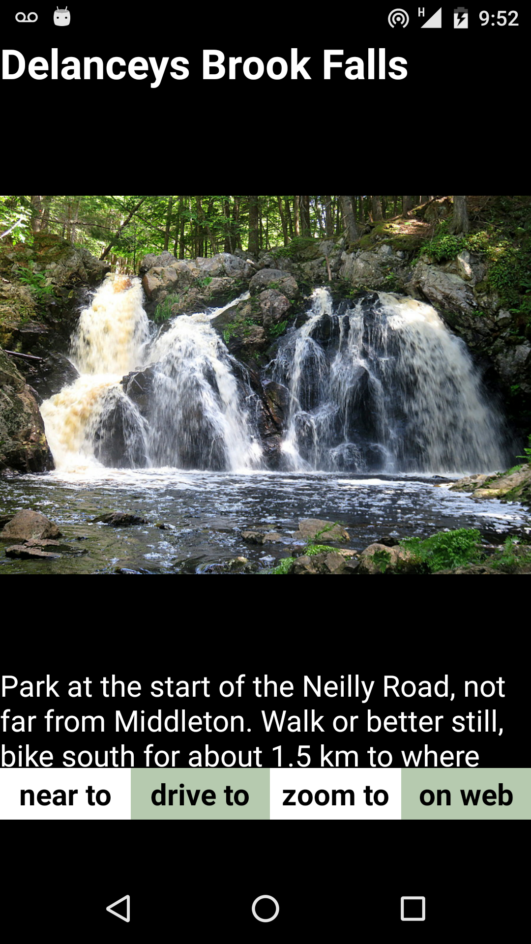
A pocket guide to over a hundred fine waterfalls in Nova Scotia. The sites
have 2019 photographs and walking descriptions. They are also mapped in a
Satellite view which is zoomable, shows location in real time on request,
and has the option of driving directions through Google Maps.
There are hundreds, likely thousands of waterfalls in Nova
Scotia. They tend to be grouped in certain hilly areas such as east of
Parrsboro, the Rawdon Hills, South Mountain in the Valley, the Rawdon
Hills, near Stewiacke and in central and western Cape Breton.
The waterfalls in this guide have been carefully selected and omit
boring sites, those with Private Property issues and several that are just too difficult to
reach. Those included are quite dramatic and often relatively unknown.
With a
few exceptions, they are easy enough to access and less than a two
kilometer walk and under five kilometers drive along gravel roads. Some
lovely ones are within ten minutes walk from paved roads.
There are pleny of sites to occupy the avid explorer for several
seasons. One's view of Nova Scotia will never be the same after seeing these
amazingly beautiful sites.
USING THE WATERFALL APP
The app has two main pages, the Map page and the Site Page. There are
also minor pages, The Waterfalls page listing all the waterfalls, and this
text page for instructions on using the app, and warnings.
MAP PAGE
The Map page has circles marking the location of the 130 waterfalls
included in the guide. The orange circles mark the finest waterfalls, the
yellow circles the other waterfalls which have been photographed already,
and the blue dots are waterfalls mentioned on the internet that have not
been documented yet. (Later updates to the app will have fewer blue
circles and more yellow circles.) Tapping the circles should cause the
name of that waterfall to be displayed in red.
The Map page opens centered over the beutiful Harrington River
waterfall, ten kilometers east of Parrsboro. The map can be zoomed in or
out and slid to show other areras of the province.
The Map page has five buttons. The first one with the Hiker icon opens
the Site page for the waterfall closest to the center of the map. To study
any chosen waterfall, slide the map so that one falls is near the cross
marking the center, then tap the Hiker icon.
The second Car icon toggles between the Satellite View and the simpler
Streets view. Sometimes the latter makes it easier to see the roads.
The third Waterfall icon leads to the Waterfalls page with all the
waterfalls listed by name.
The fourth Question Mark icon leads back to this Instruction page.
The fifth GPS Tower icon centers the map to your current lication.
This will only work if 1) Location is turned on in your phone, 2) if a GPS
location signal has been established and 3) if you are within range of
cellular data. This centering to your location happens just when you tap
the icon and will have to be repeated if your location changes.
SITE PAGE
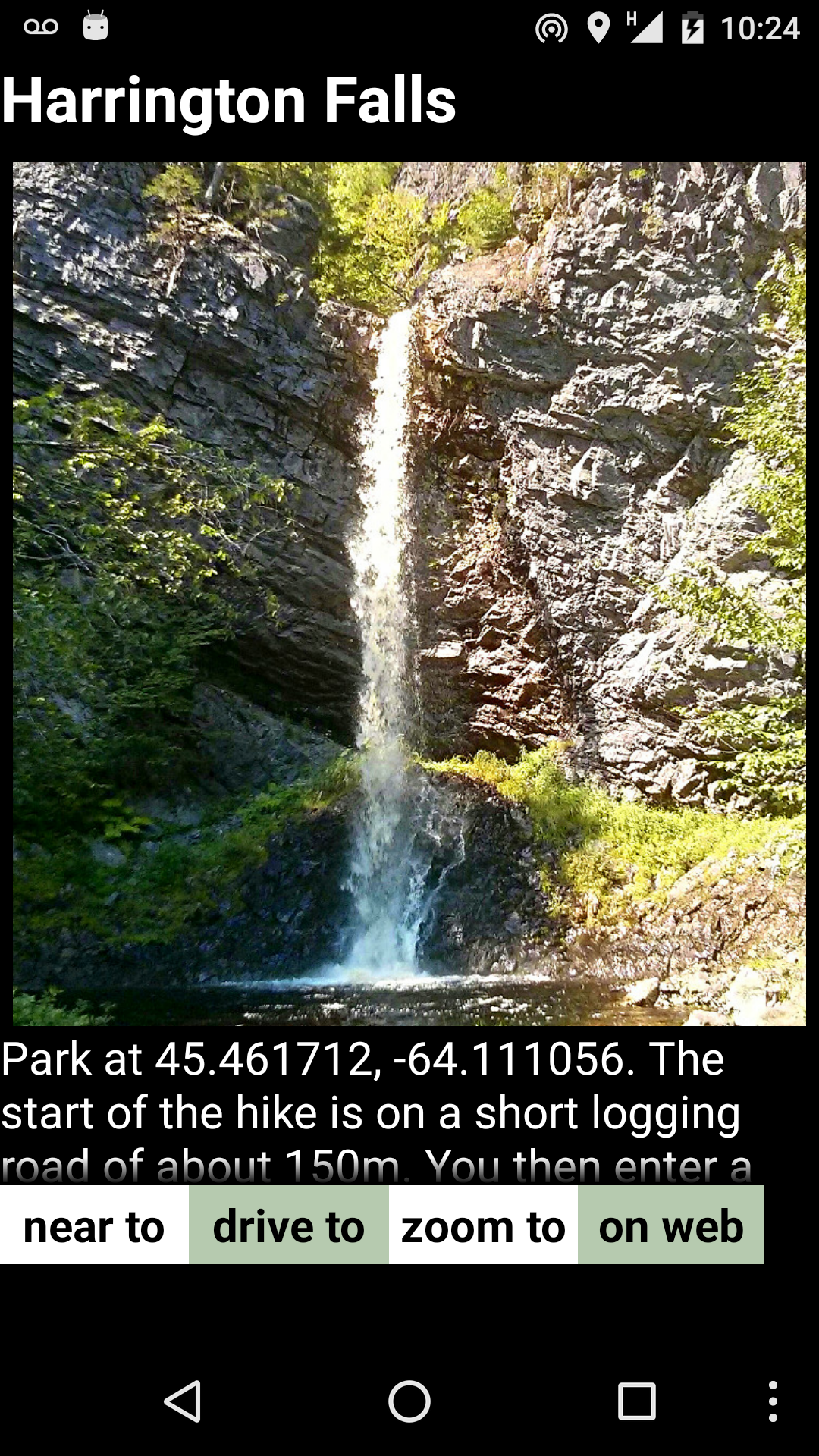
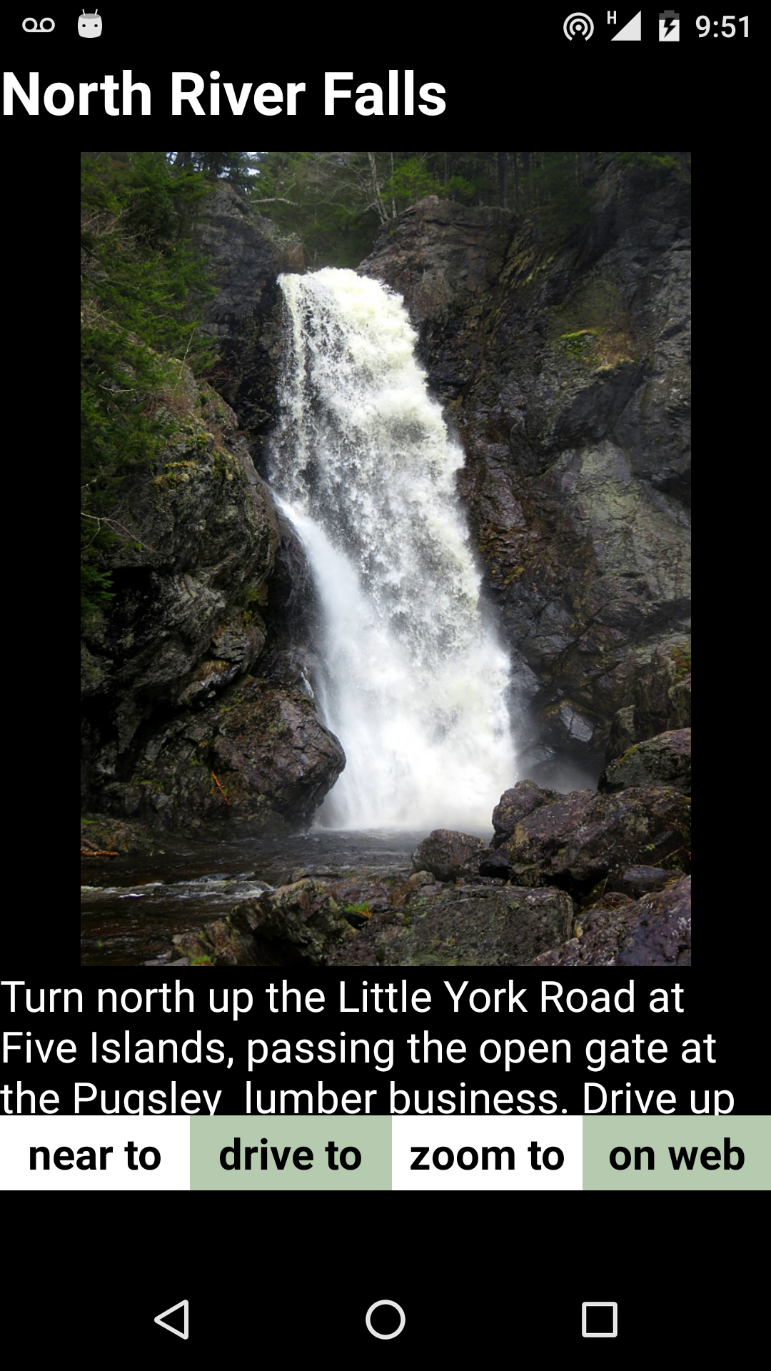
The Site page contains a photo and a description for each of the
waterfalls which have been documented. The description can be scrolled
down to read.
There are four buttons along the bottom of the Site page. The Near To
button brings up the waterfall closest to the one you are reading about.
If you keep tapping it, successive waterfalls will be displayed, each the
closest to the one proceeding it. If they have been shown already, they do
not re-appear.
The Drive To buttom will show you driving directions to the waterfall
being displayed. If Location is turned on, it will show the directions
from your current location. If Location isturned of, directions from
Halifax will be shown. The only problem is that Google Maps will give road
directions to the closest point on a road but this may not be where the
trail to the waterfall begins. Indeed in some cases, it may be to the
wrong road entirely, on the opposite side of the waterfall In one case, at
Indian Falls on the LaHave River, the GPS navigation led down a bumpy and
long cul-de-sac west of the falls from which there was no access to the
river. So use common sense in interpreting the map with regards to the
given walking directions.
The Zoom To button will open the Map page centered to the waterfall
you are reading about.
The On Web button will open a web description, if available, of the
waterfall selected. If that waterfall has not been photographed and
documented for the app already, thiese links may be all you need to find
the site. But beware erroneous web descriptions and(usually) rely on the
app route if available if there is a discrepency.
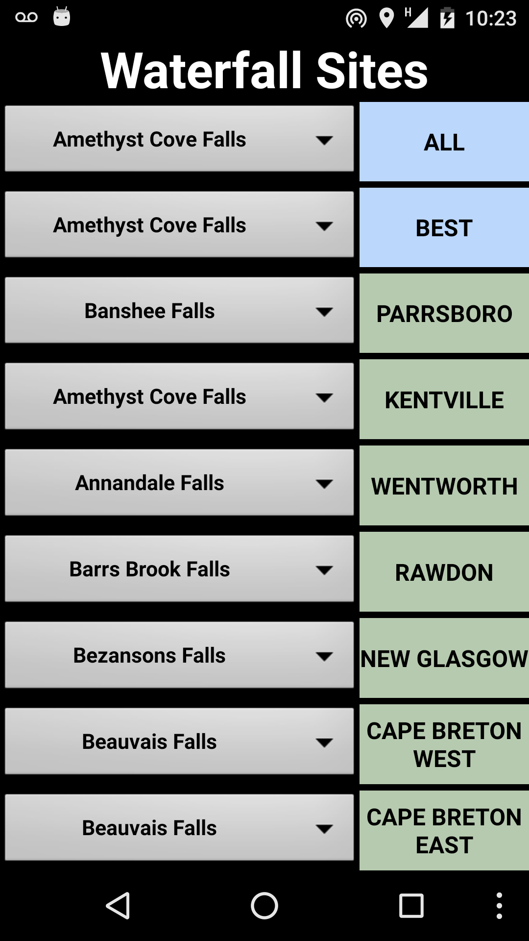
WATERFALLS PAGE
This page can be used to read the site description of any waterfall
selected without finding it on athe Map page first.
There are various drop-down menus. The first has all the waterfalls in
alphabetical order. The second list the best ones. The rest sort
waterfalls by area, such as near Parrsboro. After you choose a waterfall.
tap the button on the right side to open that description.
POTENTIAL HAZARDS
GETTING LOST - reaching some of the aterfalls require a limited amount
of cutting through forested sections that lack any clearly defined trails.
Often there is flagging tape marking the route, but not always, and it is
often easy to lose sight of it. Banshee Falls at Bass River West has this
problem, also Harrington Falls and several other sites. Never enter the
woods without a compass and a lighter, and preferably a GPS navigation
device other than your phone.
FALLING OFF CLIFFS - many of the falls are located at the base of deep
and steep ravines. Reaching the bottom can be precarious. If you approach
a waterfall from upstream, you will arrive at a slippery cliff every time.
Bypassing the cliff to reach the bottom of the waterfall can be dangerous.
FALLING ON SLIPPERY WET ROCKS - wading across streams in search of an
easier route or heading straight up a streambed creates substantial risks
of falling on very slippery rocks. Good tread on footwear you don't mind
getting wet is a help and a walking staff adds stability. Corney Brook
Devil Falls is one example of a route that is almost impossible to
traverse without a staff. If you didn't bring one along, just find a
suitable length of straight and light tree branch about five feet long.
INSECTS - swarming insects can make any hike miserable and DEET-based
insect repellant is a must. More worrisome are deer ticks which can
spread Lyme disease. In the early summer, these dangerous pests are common
in the Rawdon area in early summer, particularly in overgrown fields. Wear
long-sleeved shirts, pants tucked into your socks, light colored clothing,
spray on DEET and check after you get home to make sure none of these
disgusting insects have attached themselves to your skin.
COYOTES AND BEARS - reaching the remote location of some sites such as
James River Falls, MacCallum Gulch, Moose River East Upper Falls,
Harrington Falls or Corney Brook Devil Falls places one in prime bear and
coyote country. The coyotes in Cape Breton are sometimes crossed with
wolves and potentially aggressive. A hiker was killed by coyote on the
Skyline Trail in Cape Breton Highlands Park not so many years ago. And
bears, even black bears are best to avoid. Carry a staff and maybe bear
spray when traversing remote areas. And common sense suggests not carrying
strawberries in bear country, as they may decide to share your picnic.
DROWNING - this is a long shot but wading across streams can result in
a stumble and immersion in deeper water than expected. If you can't swim,
be careful. At Drysdale Falls, a site purposely omitted from this guide
because of safety concerns and No Trespassing signs, two visitors have
died. One banged their head jumping into the water from the adjacent
bluff, the other drowned in the pool below this falls.
LIMITATIONS OF THE APP WITHOUT DATA
In remote areas, especially in ravines, you will have no access to
wireless data. Even your phone may not work for any calls without any
signal. Hence, the study of the site directions and use of Google Maps
should be done before you head out. But if Google Maps is open to the
waterfall area, even after you lose the signal you can still view the map
although it cannot be zoomed or panned.
It is now possible to download a copy of a map which can be used
offline in Google Maps. THese copies show only the streets and not the
satellite view but offer the advantage that your location can be seen in
the context of a surrounding map. This is significant because the
phone's GPS location will usually still work even after the internet
signal is lost, as frequently occurs in remote locations.
Downloading an offline map should probably be done for almost
every location because of the safety benefits, Instructions for
downloading an offline map can be found here:
https://support.google.com/maps/answer/6291838?co=GENIE.Platform%3DAndroid&hl=en
FUNDY MINERAL COLLECTING AND OTHER APPS


