Hill Climber
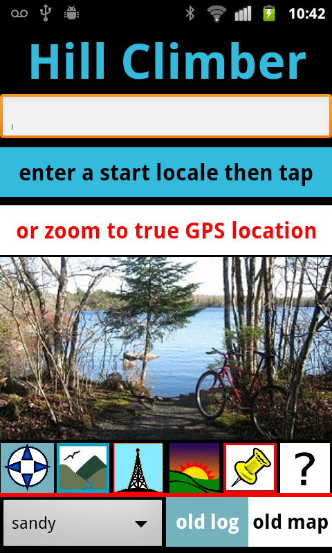
This app maps and measures hikes or bicycle rides. The emphasis is on
elevation, with several useful features.
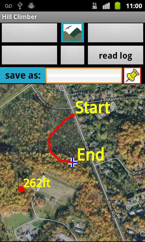
The app provides current elevation, and touch-activated elevation
readings for any point
tapped on the map.
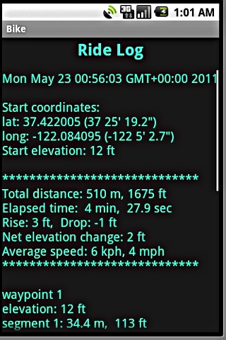
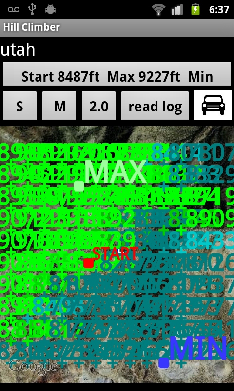
A map and log of each trek can be saved and easily retrieved
later. The
trek logs the elevation at every automatic waypoint and also tracks the
total rise and drop and of a journey. These trek logs and maps can also
be copied, modified or even created manually from scratch.
The app can also build an elevation grid for an area up to 2
miles square surrounding the hiker. (This works for the USA only.)
These elevation features do not rely on the phone's error-prone
internal sensor, but instead use a more accurate location-based
database lookup.
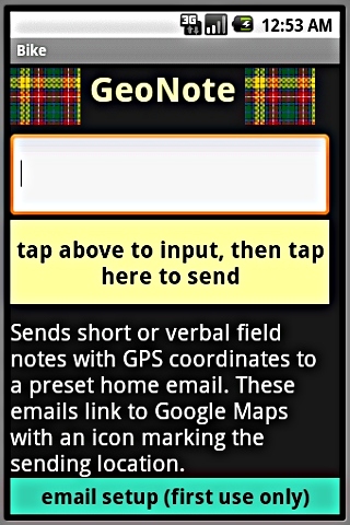
A useful feature called GeoNote allows the convenient automatic
emailing of verbally-entered and geographically-tagged comments and
observations. These are sent to a preselected email address and include
your current position marked on a linked Google Maps page. GeoNote can
also be used to share field position with another user of the app.
HEIGHT ESTIMATOR AND OTHER APPS