|
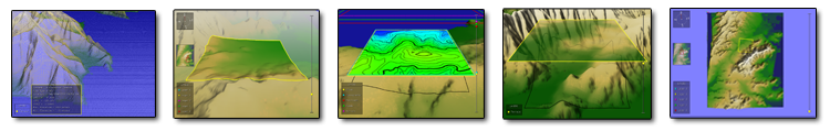
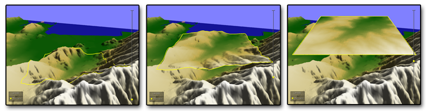
In many interactive computer graphics applications, maps in three dimensions are central to enabling the exploration, presentation and manipulation of geographical data. Advanced graphical libraries such as OpenGL enable efficient modelling and rendering of the third geographical dimension. In this project we are developing a unique Geographical Information System (GIS) that seamlessly integrates 2D and 3D views of the same spatial and aspatial data. Multiple layers of information are continuously transformed between the 2D and 3D modes under the control of the user, directly over a base-terrain. Although many existing commercial 3D GIS systems have 2D views they are typically isolated from the 3D view in that they are presented in a separate window. In this project we introduce a 2D/3D hybrid GIS that allows the user to view the 2D data in direct relation to the 3D view within the same view.
Screen Captures Publications
|